HISTORY
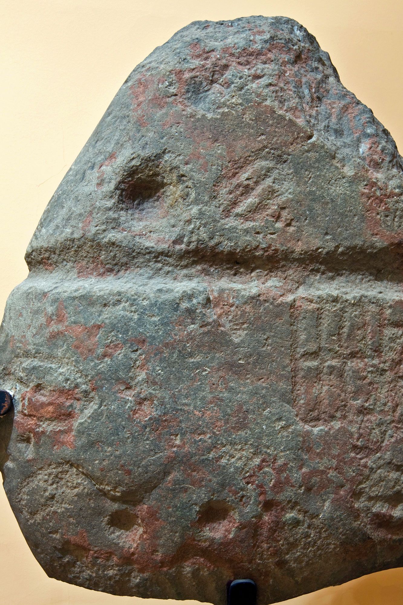
These valleys still have archaeological and architectural remains of great richness that you will be able to observe at every step. A journey to the past that will take you to an ancestral territory, populated since the Bronze Age, as shown by the idol of Rodicol, found in the place where today is located the Hermitage of the Seita, and in which the «Homus Manium», the «god men», as Pliny called the inhabitants of the castros for their strength and courage, disputed the hills to the same Roman Empire of Trajan, eager to exploit the important gold resources of the area.
With important vestiges both in Murias de Paredes and in some of the villages of the Gordo Valley, you can still contemplate the remains of some of the forts and learn about the process of exploitation of the Roman gold mines on the Roman mining routes.
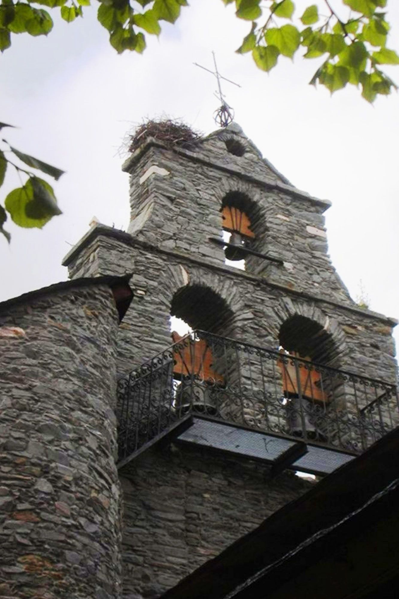
During the Middle Ages and until the 19th century, the councils were under the jurisdiction of the Counts of Luna. Not exempt from conflicts between lords and vassals, the towns grew and built their churches, their bridges, their mills, their communal dairies, their schools. Most of them are preserved today, as if time had stood still here. See?
It is then when the municipality of Murias de Paredes is constituted as such, which was a Judicial District between 1834 and 1965, when it became part of Villablino. In the last years of the nineteenth century the territory began to lose population, first by emigration and then by aging. Something that could slowly revert, with the arrival of young families to the villages and the impulse of the descendants of the area, who take care of and restore the family houses.
EL ORO DE ROMA
In the first and second centuries, the Roman Empire established several gold mines in the mountains of Omaña Alta. The municipality of Murias de Paredes put in value in 2010 five hiking routes with more than 31 kilometers that have as protagonists the gold mines of the Gordo Valley and the hydraulic network that served to emerge the gold in these mountains.
The routes start from the villages of Barrio, Fasgar, Posada, Torrecillo and Vegapujín, where, in addition to enjoying their environment and heritage, you can travel back in time and visit the spaces that still remember Roman engineering. These routes for walkers or cyclists are also a sample of the natural value of this Biosphere Reserve.
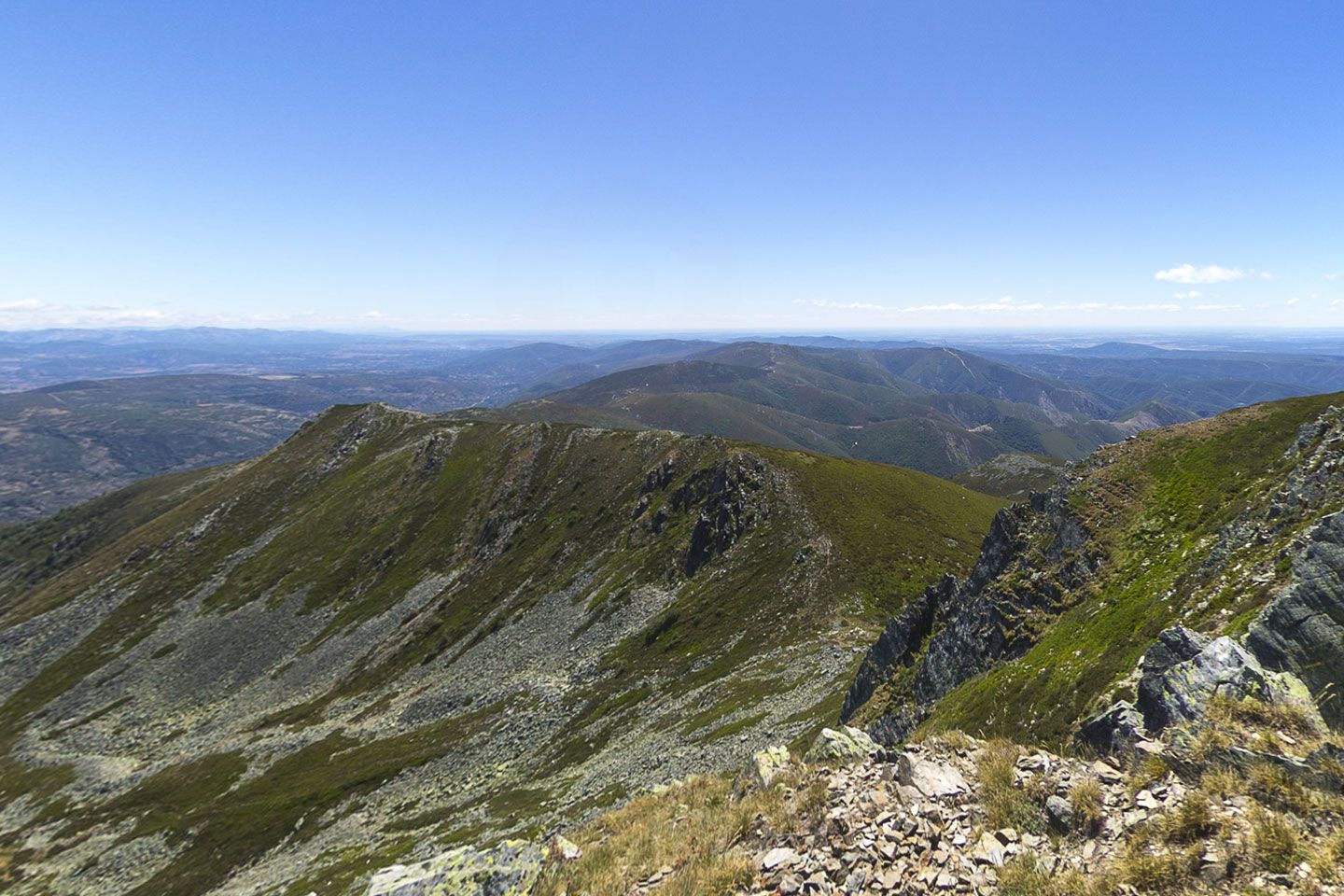
Suspirón, 1,826 metres high, is one of the landmarks of Roman gold mining in Omaña. On its eastern slope flows the Ancient Dam, one of the carreliegos or canals built by the Roman Empire two thousand years ago, 8.75 kilometers long, whose traces remain in the landscape and in popular memory.
The Forgotten Path
These villages and paths received from the 11TH to 13TH centuries many pilgrims as they passed through the old Camino de Santiago, or forgotten path, before being replaced by the current French road after the Muslim fold of the peninsula. A history of spirituality that now attracts new pilgrims from the 21ST century.
The forgotten road part of Bilbao and joins the French road in Villafranca del Bierzo. Its stages 17 and 18 travel Omaña Alta, between the villages of Marzán and Fasgar to climb the mythical slope of the Ocidiello towards the Campo de Santiago de Martín Moro Toledano. A route that will not leave you indifferent.
At present, the municipality of Murias de Paredes is developing an active task to signal and maintain this section of the road in correct conditions for the pilgrims who travel.
